Coming down with a bit of a sniffle today but hoping it will all go away by the weekend. Can't wait for the crunch of dirt beneath my feet, sounds of running water from an invisible stream and the rustling of foliage that is the lure of an early Saturday morning. Don't want to get left behind, so I had better post on last week's hike - the one during that Chinese holiday weekend.
A friend decided to join us, so we thought a hike that ended with the promise of a reward at the end of the trail would be the best option. We picked Section 1 of the Hong Kong trail - although we keep coming back to the same starting point at Pokfulam Reservoir! The start of the trail is a little dirt path that veers off soon after the junction on Pokfulam Reservoir Road that leads to Aberdeen. In fact, it's such a little path that it's quite easy to miss it. But once you get on it, you're pretty sure it's the right one.
Section 1 of the Hong Kong Trail actually begins at the Peak and winds down to that junction I mentioned above, continuing as Section 2 after the junction. It's downhill all the way if you start at the Peak but we felt we should work out a bit more for our lunch and besides, if you started at the Peak, there is no promise of reward at the end - only more walking!
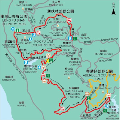
From the map below, we headed up to the 'X' and a short way after in the northeast direction, found that little path. The route turns westwards, almost back in the direction we came, but following a different contour of the mountain, which is actually the slope of High West.
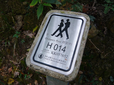
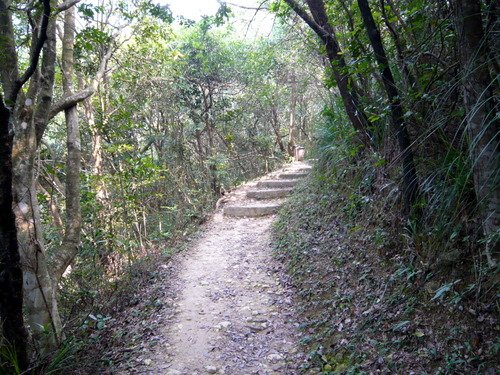
Dirt paths
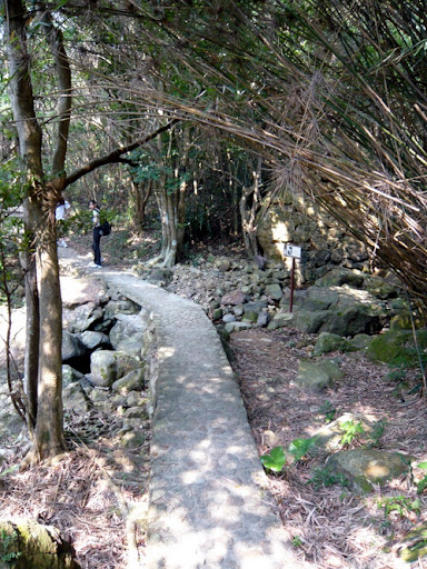
Paved route
After a while, the trail started to climb, and we emerged on the side of the mountain where vegetation is less dense and where the sun hits quite a few spots along the path. These spots afford views of the valley and surrounding mountains.
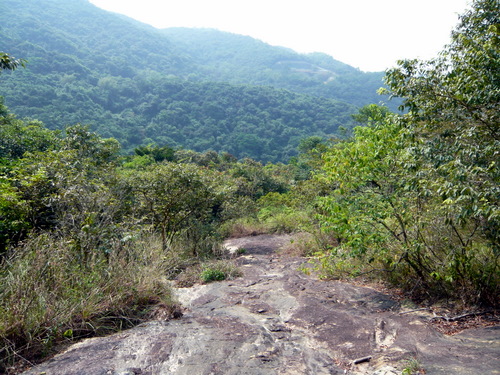
Another hazy day - when will it ever end?
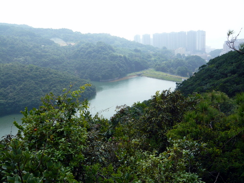
View of Pokfulam Reservoir. We're nearly back where we started but much higher up
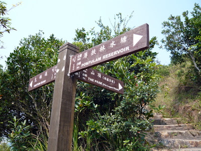
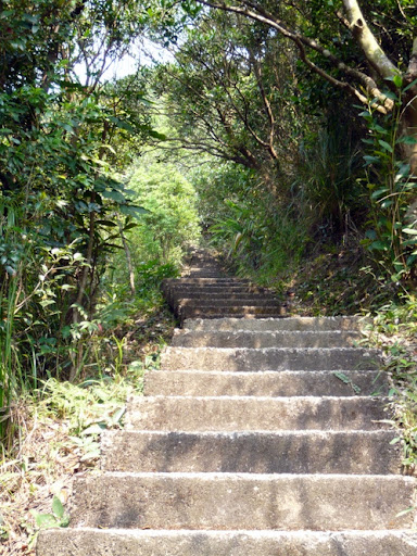
Choice of routes - see the steps?!
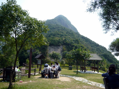
The lookout point
That's the peak of High West in the background. The bunch of kids poring over the table are actually a small company of scouts - we met a few groups going downhill as we huffed and puffed our way up those steps.
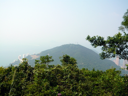
Mount Davis
Harlech Road eventually meets Lugard Road (see map above), where you have the choice of doing a right turn, which would lead you to the Peak in half the time it takes if you were to do a left turn, but the official trail heads to the left, so left we went. The route is paved and tarmac from this point onwards and it is pretty much a nature trail where some species of trees and plants are labelled and signposted with explanations of origin, occurrence, etc, but this wasn't part of our itinerary so we just pressed on. Along the way the route gets busier with people out for a walk (it is quite easy just to do a walk around the Peak on Lugard Road). The steep climb we did a little earlier made us look a little worse for wear than some of these folk who had probably just been out shopping, deciding to do a little meander.
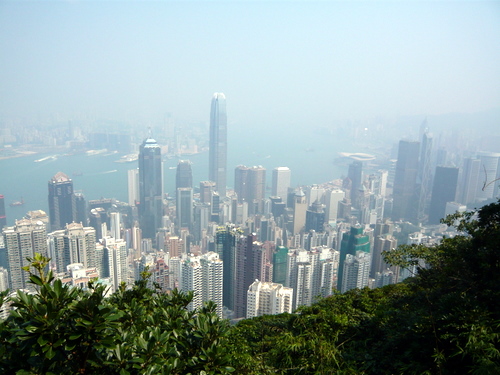
Mid-Levels and Central
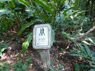
Yay! Almost there.
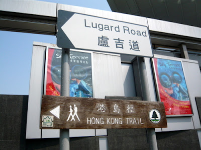
Destination's End, and the Beginning of the HK Trail
And after our two-hour hike we had lunch - but the food (a Thai and Chinese mix) looked better than it tasted or cost!
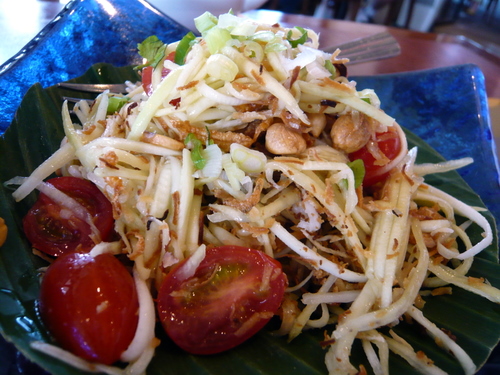
Green mango salad
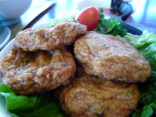
Fish cakes
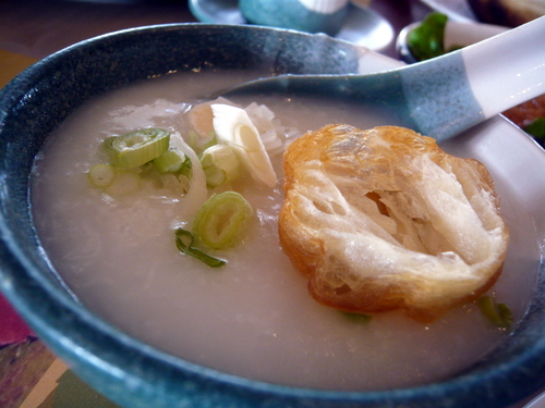
Congee

Weird siu loong bao. Couldn't figure out why the wrappers were yellow :p
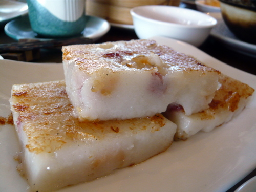
Turnip cake
Oh my, am tired just reading about your hike! You must be superfit from all the exercise :)